Unmanned Aerial Vehicles (UAV)
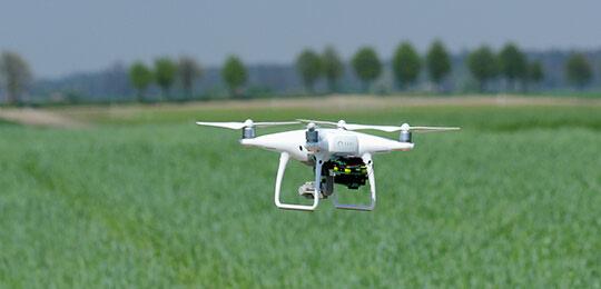
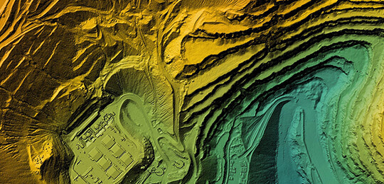
The application and utilization of UAV surveying and drone mapping services have increased dramatically over the years. Apex Geomatics Construction Surveyors Ltd. employs experienced, Transport Canada–certified UAV pilots who provide rapid, cost-effective acquisition of high-resolution aerial imagery and topographic information for precise spatial analysis.
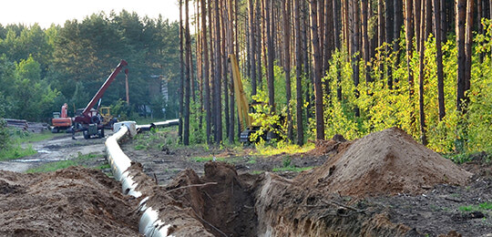
Our UAV mapping and drone surveying solutions support all stages of construction and infrastructure development. Whether you need aerial surveying for design, quality control, or volume calculations, Apex delivers dependable data that integrates seamlessly with traditional surveying workflows.
With advanced drone surveying and mapping capabilities, we help clients access accurate site intelligence faster and more safely. As a trusted drone survey company in Western Canada, Apex provides reliable results for every project – from drone survey in Calgary to drone survey in Edmonton – ensuring exceptional accuracy, safety, and value on every site.
Services include, but are not limited to:
|
|
What are the Benefits of Drone Surveying and Mapping?
Drone surveying and mapping reduce time on site, improve safety, and deliver highly detailed spatial data. Apex provides drone mapping services that integrate with your workflow to support volume tracking, inspections, and more.
How Accurate is Drone Surveying Compared to Traditional Methods?
When done by certified professionals, drone surveying achieves centimeter-level accuracy. Apex combines UAV mapping with ground control and survey-grade equipment to ensure precise, consistent results across all job types.
What Industries Benefit Most from UAV Mapping?
UAV mapping is widely used in construction, mining, energy, and infrastructure. Apex’s drone mapping services provide actionable insights for site planning, volume analysis, and progress tracking across multiple sectors.
Head Office
Apex Geomatics Construction Surveyors Ltd.
#132, 2181 Premier Way
Sherwood Park, AB
T8H 2V1
(587) 341-2375


