What We Do
Performing Comprehensive Survey Solutions to small and large-scale Corporations.
Unparalleled service, unmatched quality
Apex’s professionals are experts at the assessment, planning and execution of your project’s survey needs. Through the latest in surveying technology and the application of stringent data management practices, has proven to place Apex amongst the top providers in the industry.
Our team is comprised of driven project management, seasoned field crews and experienced CAD technicians that understand success is through consistent communication, a relentless work ethic, and strong collaboration with our clientele. Regardless of sector or scope, Apex is confident we can fulfill all of our client’s survey needs.
Efficient, customized solutions
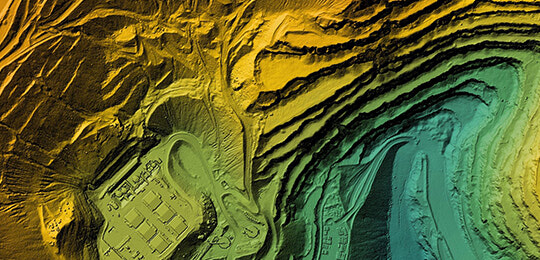
With the rapid advancements of technological applications in the field of survey, Apex is committed to staying progressive. In addition to the top conventional instruments and GPS equipment available, we are equipped with state-of-the-art 3D laser scanners, UAV fleet and line locators.
In the office, our data management is highly efficient. Our experts utilize powerful computing software and unrivaled QA/QC procedures to effectively process geospatial data and provide exceptional turnaround times.
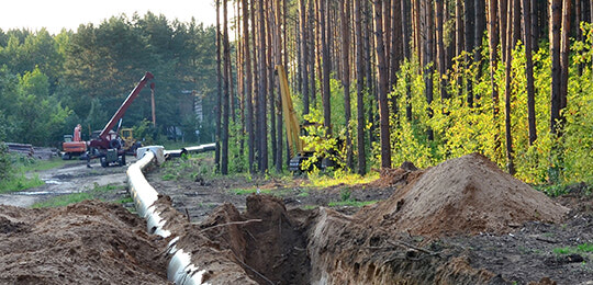
From residential RPR’s to commercial buildings, earthworks to large infrastructure, 3D scanning to UAV mapping, Apex is proficient at providing customizable solutions in any sector, at any phase.


