Projects
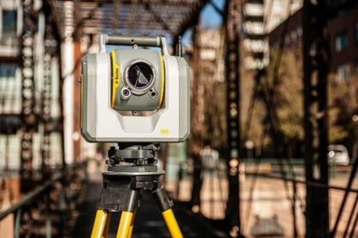
Specializing in Industrial Construction Surveys and 3D Laser Scanning.
Offering strong organizational, technical and interpersonal skills
Apex Geomatics is able to provide clients with a cost-efficient, trustworthy and timely service. Our focus on safety (COR Certified), top of the line equipment and utilizing highly skilled crews with field level survey managers is what sets us apart.
Apex was responsible for data acquisition on critical tie-points through the utilization of 3D laser scanning to aid in pre-planning for terminal and well pad expansions at 3 separate Sarafina Energy SAGD sites.
Apex responsibilities on this project included, topographic survey, grading layout and asbuilts, machine control support, drone flights, and lowering feature asbuilts.
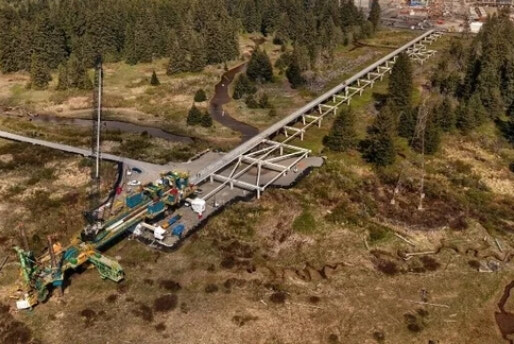
The LNG Loading Line Trestle comprises approximately 1750m long piled trestle, supporting a roadway and modular pipe-racks at elevation, running north-south between the Plant site and LNG Berth.
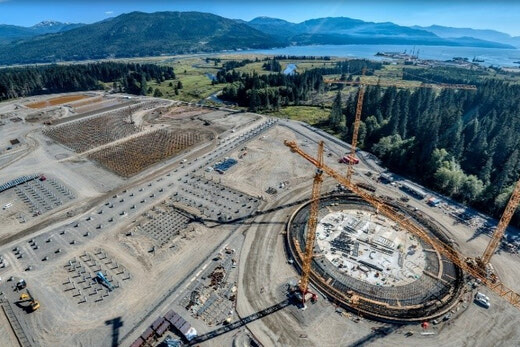
The LNG Export Facility is one Canada's largest infrastructure projects. Apex was hired to provide construction survey and UAV services for the concrete foundations and paving inside the battery limits of the LNG trains process area.
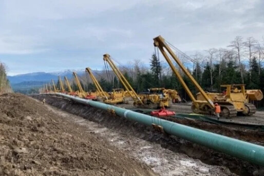
The expansion twins an existing 1,150-kilometre pipeline between Strathcona County, Alberta and Burnaby, BC. It creates a pipeline system with the nominal capacity of the system going from approximately 300,000 barrels per day to 890,000 barrels per day.
Apex supported construction activity on this project with pile layout, asbuilts, and cap placement; site grading, underground line locates and other related scopes.
Fort Hills Opp Bridge is an overpass designed for heavy haulers to cross over Fort Hills main road, Owl Avenue, to bring bitumen to the Opp crushers for processing.

